


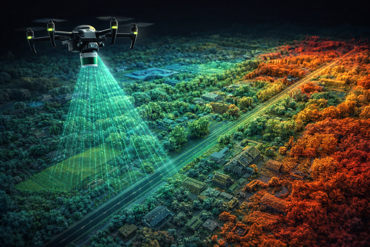
Drone Mapping & LiDAR Market, ROI and Digital Twin Analysis (2026)
(Global Industry Analysis – Technology, Market & Business Models)
Gürkan Bal | Aviation & UAV Analyst
📡 Introduction: The Digital Transformation of Mapping
Mapping and spatial data collection have become one of the highest value-generating domains within drone technology.

Traditional methods (ground surveying, manned aircraft, satellites) are being replaced by faster, more precise, and cost-efficient drone-based systems.
At the core of this transformation are two key technologies:
| Technology | Principle | Advantages | Limitations |
|---|---|---|---|
| Photogrammetry | 3D modeling from 2D images (passive sensor) | Low cost, lightweight equipment, high-resolution RGB data | Dependent on lighting, struggles in dense vegetation |
| LiDAR | Distance measurement using laser pulses (active sensor) | Penetrates vegetation, works day/night, cm-level accuracy | High cost, heavier payload, slower flights |
👉 The most powerful approach today is:
Photogrammetry + LiDAR integration → complete, high-precision digital twins
📊 Market Size and Global Trends

LiDAR Market (Mapping-Oriented)
- 2025 Market Size: $5.3 Billion
- 2026 Market Size: $5.9 Billion
- 2035 Projection: $45.8 Billion
- CAGR: 25.6%
UAV LiDAR Mapping Market
- 2025 Market Size: $1.15 Billion
- 2026 Market Size: $1.29 Billion
- 2030 Projection: $2.03 Billion
- CAGR: 12.2%
Urban Drone LiDAR Market
- 2025 Market Size: $1.61 Billion
- 2026 Market Size: $1.89 Billion
- 2030 Projection: $3.62 Billion
- CAGR: 17.6%
Platform Segmentation
- UAV (Drone): $1.3B (~24.5%)
- Terrestrial Systems: Largest segment (projected $13.4B by 2035)
- Airborne (Manned Aircraft): declining
- Handheld/Backpack: rapidly growing
Regional Distribution
- North America: ~49.8% (largest market)
- Europe: ~25%
- Asia-Pacific: fastest-growing (CAGR >30%)
🔬 Technological Infrastructure

Photogrammetry
How it works:
- overlapping images captured via drone
- processed into 3D models using software (Pix4D, Metashape, ContextCapture)
- outputs: orthomosaic, DSM, 3D mesh
Advantages:
- low cost
- realistic textures
- longer flight times
Limitations:
- cannot penetrate dense vegetation
- lighting dependent
- shadow sensitivity
LiDAR
How it works:
- emits 100,000–2,000,000 laser pulses per second
- generates point clouds
- combined with GNSS + IMU for georeferencing
Advantages:
- penetrates vegetation
- works in all lighting conditions
- sub-centimeter accuracy
Limitations:
- high cost ($20,000–$150,000+)
- heavier payload
- shorter flight time
When to Use Which?
| Scenario | Photogrammetry | LiDAR |
|---|---|---|
| Open terrain | ✅ Ideal | ⚠️ Overkill |
| Dense forest | ❌ Not suitable | ✅ Essential |
| High precision (<5 cm) | ⚠️ Possible (RTK) | ✅ Ideal |
| Cultural heritage | ✅ Texture | ✅ + structure |
| Volume calculations | ✅ Good | ✅ Better |
| Corridor mapping | ✅ Suitable | ✅ Superior |
Integrated Approach (TLS + UAV + LiDAR)
The most advanced workflow combines:
- TLS (ground scanning)
- UAV photogrammetry
- UAV LiDAR
👉 Result: complete digital twin
Accuracy difference: 0.8 – 3.2 cm
🏗️ Core Application Areas
Corridor Mapping
- roads, railways, pipelines, power lines
- largest segment (~37.5%)
- high demand in transport sector
Construction & Engineering
- volume calculations
- progress monitoring
- BIM integration
- site safety
👉 Drone = construction control system

Mining
- stockpile measurement
- slope stability
- production planning
- environmental monitoring
Forestry & Agriculture
- tree inventory
- disease detection
- biomass estimation
- carbon tracking
Urban Planning & Digital Twins
- 3D city models
- smart city infrastructure
- real estate planning
- heritage preservation
Environmental & Disaster Monitoring
- flood mapping
- erosion tracking
- landslide monitoring
- earthquake damage analysis
Energy & Infrastructure
- power lines
- wind turbines
- solar farms
- pipelines
👉 Drone mapping = predictive maintenance
💰 Business Models and Revenue
Drone-as-a-Service (DaaS)
- mapping services
- LiDAR scanning
- digital twin creation
Data-as-a-Service
- orthophotos
- point cloud data
- analytics reports
Equipment & Software
- LiDAR sensors
- RTK/PPK systems
- mapping software
Training
- pilot certification
- LiDAR processing
- GIS & 3D modeling
📈 ROI Analysis
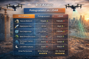
Investment
- Photogrammetry system: $8K – $28K
- LiDAR system: $32K – $133K+
Revenue Potential
- Mapping: $50K – $150K/year
- LiDAR: $80K – $200K/year
- Digital Twin: $100K – $300K/year
Payback Period
- Photogrammetry: 6–18 months
- LiDAR: 12–24 months
⚠️ Regulations and Technical Requirements
Licensing
Technical Requirements
- RTK/PPK GNSS
- Ground Control Points
- calibration
- standardized workflows
🚀 Future Trends

AI Integration
- automated classification
- real-time processing
- autonomous missions
Digital Twin & Urban Air Mobility
- required for autonomous navigation
- supports GPS-denied environments
Next-Gen LiDAR
- solid-state LiDAR
- hyperspectral integration
- bathymetric LiDAR
- gas detection systems
Cloud-Based Workflows
- processing-as-a-service
- real-time collaboration
- API integrations
Environmental Monitoring
- carbon tracking
- climate analysis
- sustainability reporting
🎯 Conclusion
Drone-based mapping and LiDAR systems are no longer optional tools.
They are becoming:
👉 core infrastructure for cities, industries and autonomous systems
🔗 CONTINUE
👉 Drone Mapping Business Guide
👉 Equipment Selection (LiDAR & RTK)
👉 Digital Twin Systems
— Analysis by Gürkan Bal
Founder & Editor | UAV Intelligence